B
Read more
+(250) 791 728 026
Introduction to GIS and Remote Sensing and its Application in
Environment
Welcome to the blog post highlighting the
recent training session focused on "Introduction to GIS and Remote Sensing
and its Application in Environment." Held over 4 days from March 27th
to March 28th and 3rd to 4th May, 2024, this
enlightening session was hosted at the Wildlife Conservation Initiative Office
(Location Map).
Wildlife Conservation Initiative
conducted a training session on the introduction to Geographic Information
Systems (GIS) and remote sensing with aim to promote sustainable conservation
efforts by actively involving the youth, recognizing them as the stewards of
tomorrow.
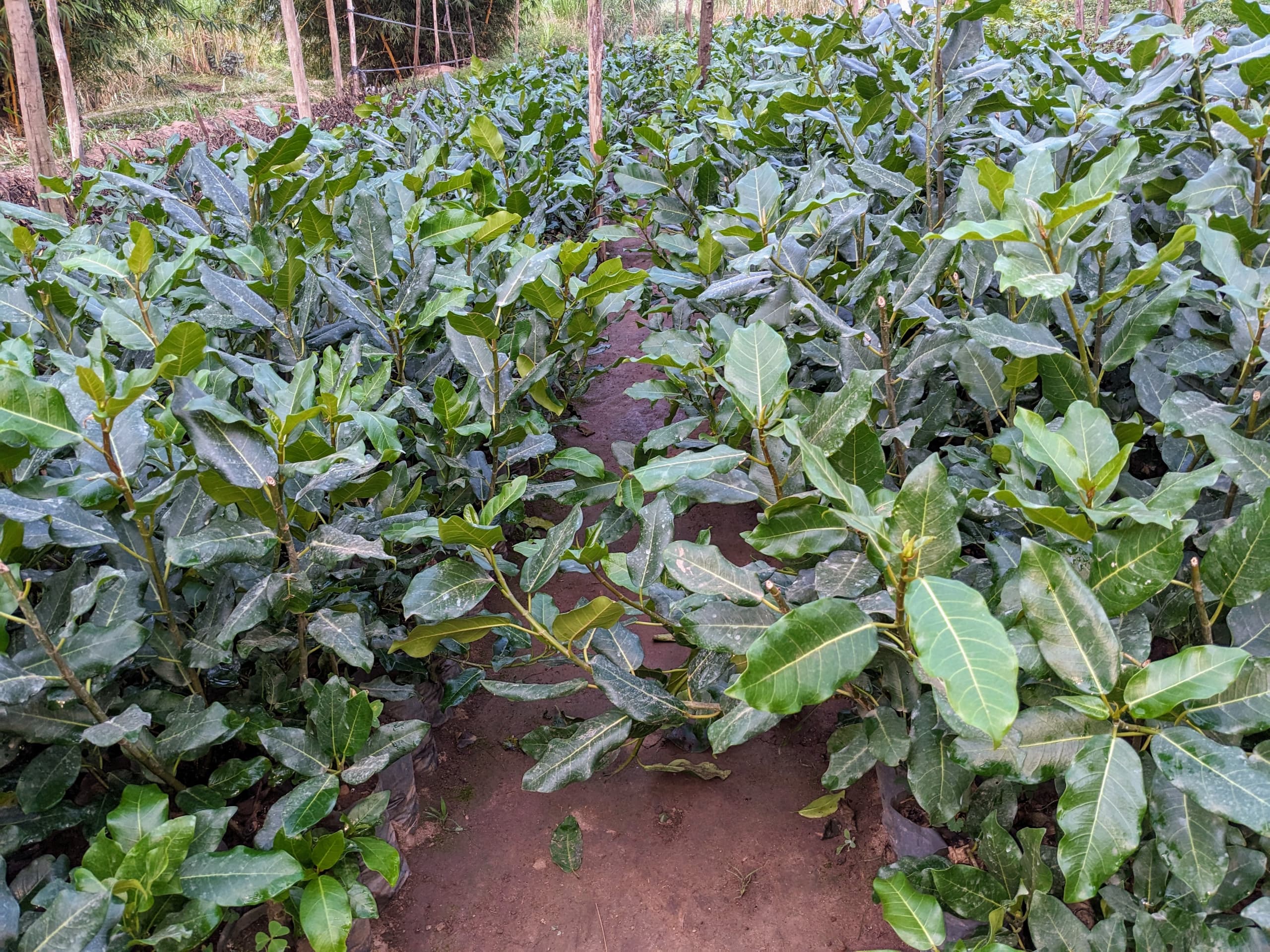
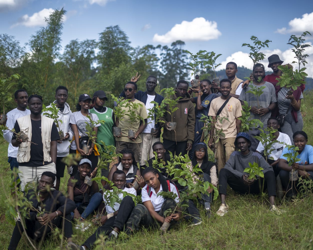
GIS is pivotal in our programs for
habitat restoration. While planting trees is a significant aspect, the
monitoring of these trees is equally essential. GIS and remote sensing
technologies play a crucial role in this process. They enable the delineation
of planting areas through the creation of polygons and the precise mapping of
restoration sites. Moreover, they facilitate ongoing monitoring of tree growth
and ecosystem health.
This training session was designed to
empower the younger generation with the skills needed to leverage GIS and
remote sensing technologies for nature conservation. Here are the outcomes
observed following the completion of the training.
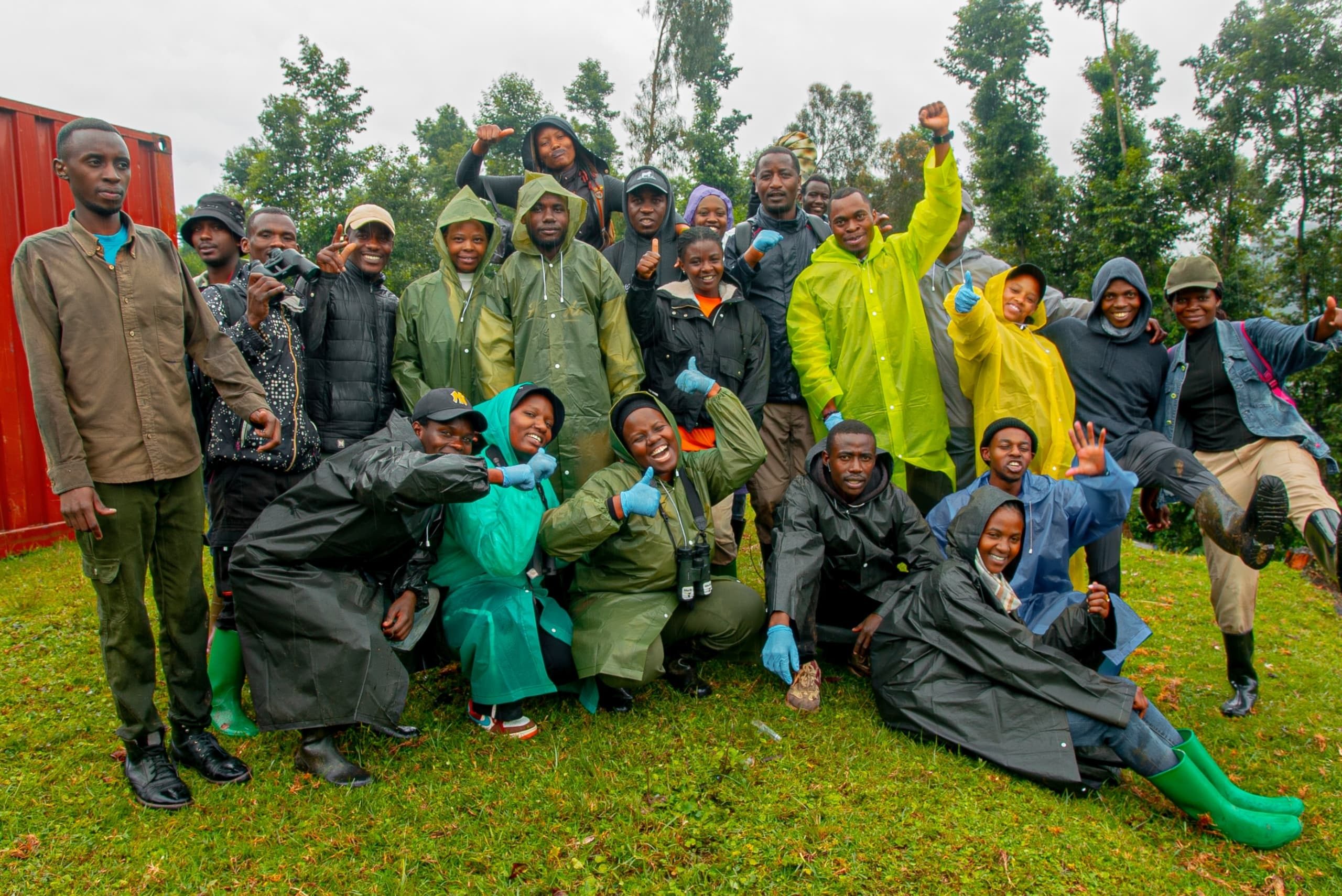
The training sessions were conducted in
two cohorts. Cohort 1 took place from March 27th to March 28th, 2024, with 37
enthusiastic participants, while Cohort 2 followed on April 3rd to April 4th,
2024, with 30 eager attendees. Led by the experienced NGWIJABAGABO Hyacinthe,
an Assistant Lecturer at the University of Rwanda, the sessions ran from 15:00
to 18:30, providing ample time for comprehensive learning and practical
engagement.
Training
Overview
The
training session spanned two days, from March 27th to March 28th, 2024, and was
conducted at the Wildlife Conservation Initiative Office. 37 participants were
requested to arrive at 15:30 to ensure timely installation of required software
on their personal computers, facilitating seamless participation in the
training.
Trainees
after being welcomed by SHEMA Serge, Executive Director of WCI; The training
commenced with an introduction to GIS and remote sensing by the experienced
trainer NGWIJABAGABO Hyacinthe. Participants were guided through hands-on
exercises using software such as ArcGIS, QGIS, and Google Earth Pro. Practical
applications of these tools in environmental studies were highlighted,
emphasizing their significance in data analysis, mapping, and decision-making
processes.
Participants
demonstrated high levels of engagement and concentration throughout the
training session. They actively participated in practical exercises and
discussions, expressing a keen interest in deepening their understanding of GIS
and remote sensing applications in environmental research.
The
training session concluded by SAFARI Claude, a project manager with gratitude
extended to all participants for their commitment to learning and applying GIS
and remote sensing techniques in environmental studies. Participants were
encouraged to continue practicing and exploring the tools introduced during the
session to further enhance their skills and contribute effectively to
environmental conservation efforts.
WCI
extend great appreciation to NGWIJABAGABO Hyacinthe for his expertise and
guidance during the training, and we look forward to continued collaboration
and knowledge-sharing in the field of GIS and remote sensing. Kindly view the Video
Highlights of Cohort 1's training
session on "Introduction to GIS and Remote Sensing and its Application in
Environment”.
Training participants
The training participants comprised 45.5%
males and 54.5% females, showcasing a balanced gender representation. Age-wise,
the majority of attendees, totaling 86.4%, were under 30 years old, reflecting
a youthful cohort eager to engage in environmental studies. Additionally,
participants hailed from diverse academic backgrounds: 3.0% were high school
students, 52.2% were university students, 17.9% were A2 graduates, 14.9% were
A1 graduates, 9.0% were A0 graduates, while 1.5% were pursuing master's degrees,
and another 1.5% were PhD candidates.
Training feedback
Feedback on the training indicated
positive responses, with 47.4% expressing being very satisfied, 52.6% reporting
satisfaction, and a small fraction, 5.3%, remaining neutral. In terms of the
instructor's effectiveness, a significant portion, 47.4%, rated it as
excellent, followed by 42.1% as very good, and 10.5% as good. Furthermore, the
training materials were well-received, with 78.9% finding them very informative
and the remaining 21.1% considering them informative. Moreover, an overwhelming
majority of 89.5% granted photo consent for usage by the Wildlife Conservation
Initiative, while 10.5% opted out. Stay tuned for further updates and insights
as Wildlife Conservation Initiative continues its endeavors in environmental
conservation and education!
Training
takeaway
(i)
Interactive
Learning with Practical Exercises: Incorporating hands-on exercises using
software like ArcGIS, QGIS, and Google Earth Pro facilitated an interactive
learning environment. Practical applications of GIS and remote sensing tools
were highlighted, enabling participants to grasp concepts effectively through
direct engagement.
(ii) Diverse Participant Backgrounds: The
training attracted participants from diverse academic backgrounds, including
high school students, university students, and graduates at various levels.
This diversity fosters cross-disciplinary learning and enriches discussions,
allowing for a more comprehensive understanding of GIS and remote sensing
applications in environmental studies.
(iii) Gender Balance and Youthful Cohort: With a balanced
gender representation and the majority of participants being under 30 years
old, the training session reflected a youthful cohort eager to engage in
environmental studies. This demographic diversity ensures a dynamic exchange of
ideas and perspectives, contributing to a vibrant learning atmosphere.
(iv) Positive Feedback and Instructor
Effectiveness: The overwhelmingly positive feedback from participants, with a
significant portion rating the instructor's effectiveness as excellent,
underscores the quality of instruction and the trainer's ability to effectively
convey complex concepts. Such feedback reaffirms the importance of experienced
and knowledgeable trainers in facilitating successful learning outcomes.
(v) Encouragement for Continued Practice and
Exploration: Participants were encouraged to continue practicing and exploring
the GIS and remote sensing tools introduced during the session to further
enhance their skills. This emphasis on continuous learning and skill
development underscores the training's commitment to empowering participants to
contribute effectively to environmental conservation efforts beyond the
session's duration.
Conclusion
In
conclusion, the training session on "Introduction to GIS and Remote
Sensing and its Application in Environment" was a resounding success,
fostering an environment of interactive learning and practical engagement. The
diverse backgrounds of participants, coupled with a balanced gender
representation and a youthful cohort, contributed to dynamic discussions and a
vibrant learning atmosphere. Positive feedback regarding the instructor's
effectiveness and the relevance of training materials underscores the quality
of instruction and the value of experienced trainers in conveying complex
concepts effectively. Furthermore, the encouragement for continued practice and
exploration emphasizes the training's commitment to empowering participants to
contribute meaningfully to environmental conservation efforts through enhanced
skills in GIS and remote sensing. Thank you.